Maps

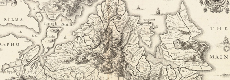
Inishowen 1661 – Hollar Parsons, reproduced by kind permission of the Board of Trinity College, Dublin

Inishowen : Extract from Mc Crea Map of Donegal 1801

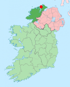
Map of Ireland with county Donegal in green, and Carrickabraghy Castle in red
[googlemaps https://maps.google.com/maps?f=q&source=embed&hl=en&geocode=&q=Carrickabraghy+Castle%4055.313151,-7.378271&ie=UTF8&t=m&hq=&hnear=&ll=55.313126,-7.378349&spn=0.093783,0.219727&z=12&output=embed&w=640&h=480]

